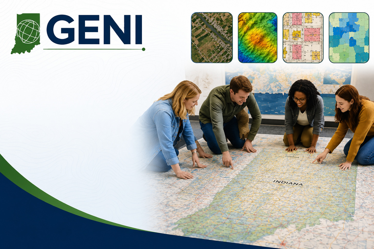
The Geography Educators’ Network of Indiana (GENI) is offering a GeoInquiries: Teaching & Learning from a Spatial Perspective professional development opportunity for Indiana educators and community partners.
This program is designed to help participants create unique, Indiana-focused interactives, lessons, and activities using geospatial resources. Possible tools and resources include aerial imagery, satellite imagery, LiDAR, census data, IndianaMap, historic Sanborn fire insurance maps, the Giant Map of Indiana, the Indiana Atlas, and other geographic information systems.
The goal is to develop engaging GeoInquiries that challenge students to bring together multiple pieces of evidence, analyze geographic patterns, ask better questions, and solve real-world problems connected to Indiana.
This would be a great opportunity for teachers of Indiana Studies, AP Human Geography, Geography and History of the World, and other social studies courses. Non-classroom educators are also welcome, including librarians, museum educators, parks staff, GIS and geospatial professionals, after-school program leaders, 4-H, FFA, Scouts, county extension programs, and others involved in education or outreach.
Dates and Location
The program begins with an in-person gathering in Indianapolis on September 11, 2026. Participants will continue working virtually with support through December 15, 2026.
Funding Support
GENI will provide support for 15 participants, including a $500 stipend and $500 in travel support. Travel support is provided for the September 11 gathering, and the stipend is paid upon completion.
Application Deadline
Applications are due by July 31, 2026. Completed applications should be emailed to geni@iu.edu.
Giant Maps of Indiana
GENI will also be giving away 20 Giant Maps of Indiana throughout the state. These large floor maps measure approximately 10 feet east/west by 15 feet north/south and can be used for classroom lessons, community programs, outreach events, and hands-on geography activities.
Schools, school corporations, libraries, museums, and community collaborations are encouraged to consider applying for one of the Giant Maps. GENI will also provide professional development, as needed, to help educators and community partners feel comfortable using the map for teaching, learning, outreach, and public engagement.
For questions or additional information, contact GENI at geni@iu.edu.